UPDATE: Satellite data showed Merygö swimming northwest along the coast. Her most recent location signals were of very high quility and not moving, suggesting Merygö was on land. STC researchers began a search of the islands in the last know location trying to determine her fate. On Sept 21st, 2004, STC researchers confirmed that Merygö had been caught and eaten by an indigenous family living at Cayo de Agua, Panama. The turtle had been caught the day before at the southerneastern end of Cayo de Agua. The transmitter was recovered and seems to be in good condition. STC attached the transmitter to Señorita Chiriquí on October 7, 2005. Map of Señorita Chiriquí.
![]()


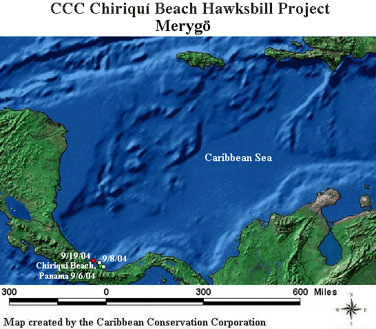
This map is updated with new points as soon as they are received by the Sea Turtle Conservancy. The red location point is the most recent location received for this turtle. If the red point is more than two months old, then the transmitter is most likely no longer working.