Tracking

Buckley

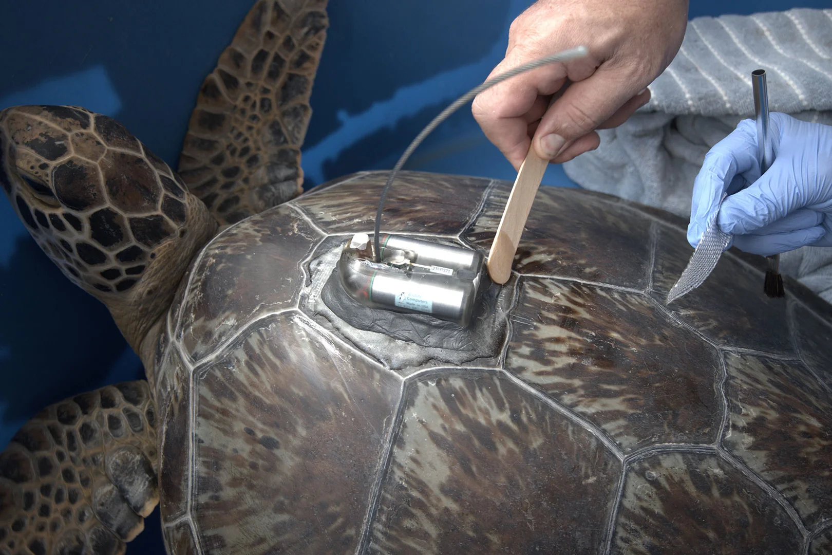
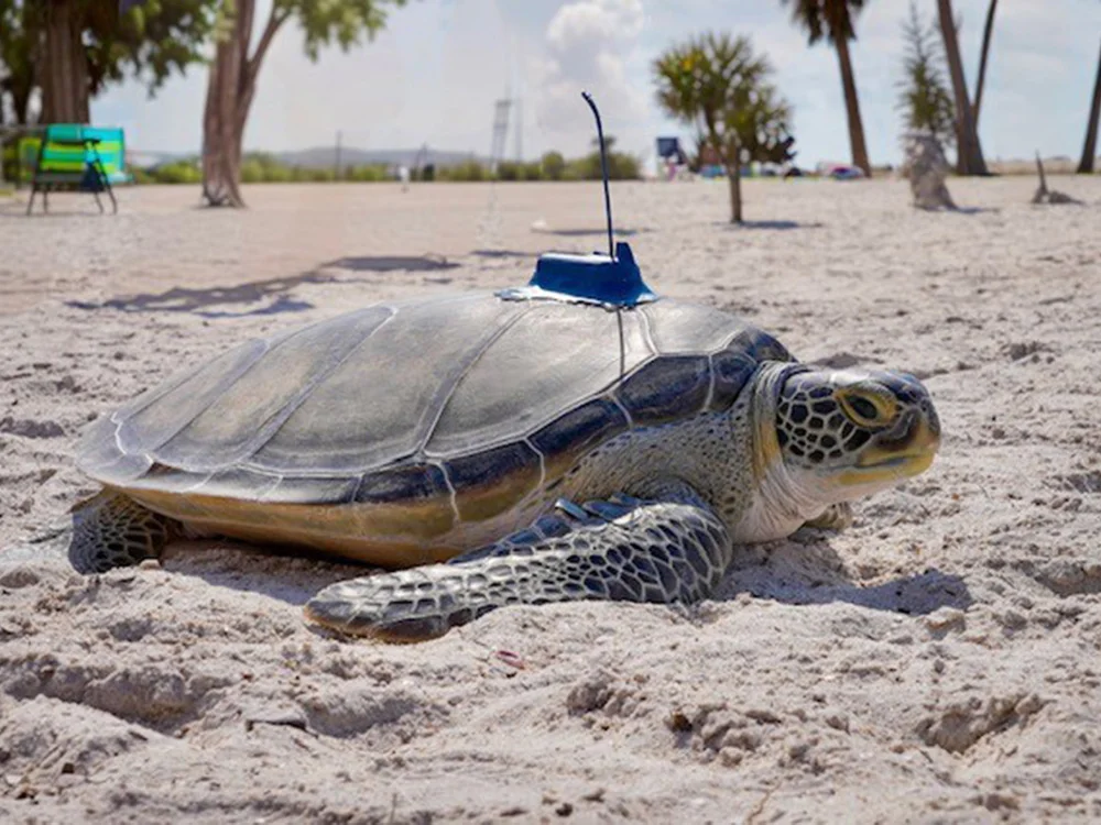
Buckley is a sub-adult green sea turtle that was found stranded more than a mile inland from the Gulf of Mexico, on a rural dirt road in Dixie County, just north of Cedar Key on November 11th, 2024. Good Samaritans spotted Buckley and they were able to call Florida Fish and Wildlife Conservation Commission (FWC) for help. FWC dispatched University of Florida Marine Animal Rescue Team (UF) to initially respond to Buckley’s stranding call. UF was then able to transfer Buckley To The Florida Aquarium’s Sea Turtle Rehabilitation Center the next day for care. After months of care, Buckley was cleared for release and released with a satellite tag on February 12th 2025. Buckley measured 63.9 cm CCL (shell length). Buckley’s satellite transmitter was sponsored by Verizon.
Trans Alps Adventure

Migration Map

Hover over location circle to view date, and over the turtle icon to view most recent date.

Cumulative distance traveled: 97 km (60 miles)
Distance covered since last location: 6.20 km (3.86 miles)
Average speed since release: 0.28 kph (0.17 mph)
Average speed since last location: 0.27 kph (0.17 mph)
Time since last location update: 4 hours
Time tracked: 15 days

Sponsors & Partners:

On average, transmitters will send signals for around 1 year from the time the turtle is released. Sometimes it can be 2 years, and sometimes it can be less than a year. The turtle icon location point represents the most recent location received for this turtle. It is not uncommon for a transmitter to skip a day or two due to the turtle’s behavior or biofouling on the transmitter or antenna. This map is automatically updated with new points as soon as they are received by the Sea Turtle Conservancy. If the most recent point is more than two months old, then the transmitter is most likely no longer working.

The presentation of data here is for educational and entertainment purposes and does not constitute publication, and the researchers who contributed this data retain all intellectual property rights. Map, materials, images or data may NOT be used without permission. <i>Use of this map, material, images, or data for any purpose (including, but not limited to, reproduction and distribution) without the written consent of the Sea Turtle Conservancy or the researcher/institute contributing the data is prohibited.

Map created by Mapotic for Sea Turtle Conservancy. Data and Map © STC (unless otherwise noted)

Learn More

Related Turtle Information